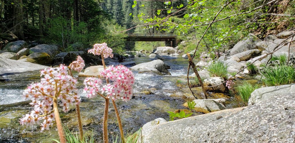
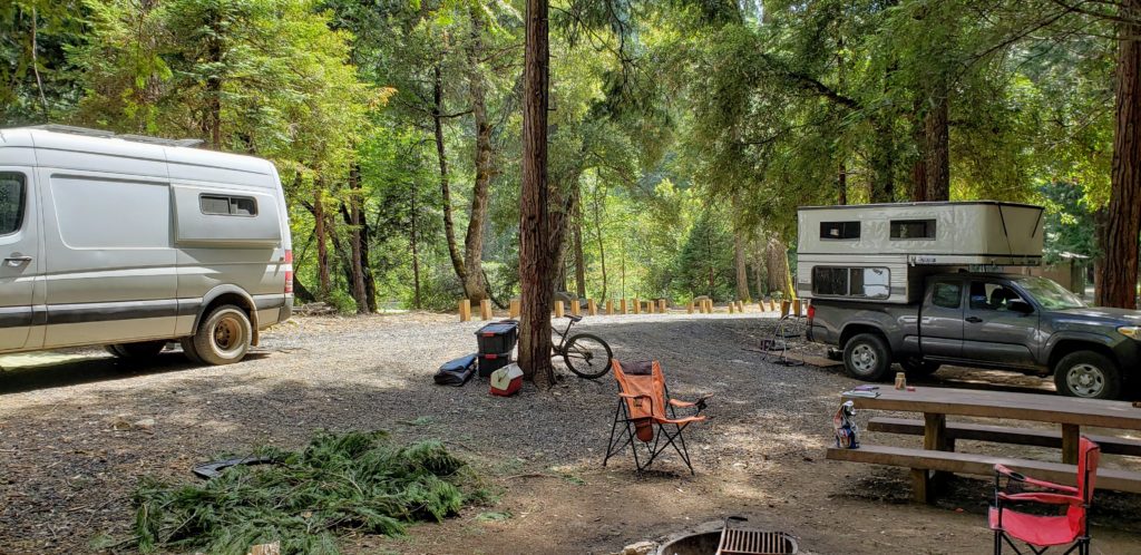
Fantastic free campground right on the Feather River (south fork). New pit toilets, drinking water, trash cans, and picnic tables. Lots of firewood available too. High-clearance vehicles not needed, but the road from the north is better than the road from the south. There are 3 sections of the campground, and it should be easy to take over an entire section if you arrive mid week. The bridge is currently closed, so you are stuck on whatever side you arrive from. There is a fairly deep swimming area near the bridge, but water was way too cold to swim when I was there in May. There is no gate to the campground, so its open year-round so long as there is no snow. Elevation is 4000 ft. No poison oak spotted.
This campground is much better mid week. I’ve been 3 times, and there were between 0 and 3 other campsites occupied every time. A ranger told me that the campground gets taken over by the OHV party crowd on weekends, and gets very loud and rowdy, so probably best to stay elsewhere on weekends.
See Plumas National Forest page for more info.
Directions: The road is much better and the camping is better on the north side, so to get there using Google Maps go to Feather Falls, then on to Golden Trout Campground (39.616, -121.14245). From Lumpkin Ridge Rd, turn right when you see a sign that says “Feather River: 2 miles”, then drive 3.6 miles to the river. Go figure.
In general the google maps is not very good in that area. Maps.me is much better. If the campground is full, there are a number of nearby dispersed camping options:
- fantastic area at an old gold mine with lots of river access and a shooting range (4WD only): 39.607139, -121.153261
- 2 nice spots on the river at 39.660144, -121.193729. Its about .2 miles down a good quality dirt road that is not on any map.
- there is also nice dispersed spot on the hill at location: 39.59987, -121.14045
Closest cell phone coverage 5 miles away near 39.648997, -121.134678
Photos here.


